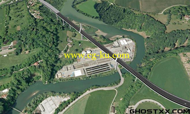
Autodesk Infrastructure Modeler 2013 x64
Autodesk Infrastructure Modeler 概念设计软件可快速创建、评估和传达项目建议方案,帮助地理信息系统(GIS)、规划和土木工程专业人士在既定条件下评估未来的基础设施。
Autodesk Infrastructure Modeler 是基础设施概念设计软件解决方案,能帮助业内专业人士快速生成令人信服的项目建议方案,从而更快速地获得利益相关方的认可,并更自信地制定决策。 Autodesk Infrastructure Modeler 能帮助用户创建出真实再现自然和建筑环境的模型,在一个模型中评估多个项目概念设计,并将视觉效果形象、逼真的建议方案传达给利益相关方。
Autodesk® Infrastructure Modeler software for urban planning design helps civil engineering, transportation, and urban planning professionals create, evaluate, and communicate infrastructure proposals. Infrastructure Modeler can help to drive stakeholder buy-in and inform decision making with visually rich proposals for transportation, land, water, and energy infrastructure projects.
Model existing infrastructure—Bring 2D CAD, GIS, Building Information Modeling (BIM), and raster data into a 3D model.
Import detailed models—Incorporate detailed models from AutoCAD® Civil 3D® 2012, AutoCAD® Map 3D 2012, and other software.
Overlay GIS data—Create 3D thematic maps to help inform decisions.
Manage infrastructure proposals—Create and manage multiple alternatives in a single model.
Powerful sketching tools—Sketch conceptual designs directly into a model.
Communicate visually rich infrastructure proposals—Shift between design proposals and evaluate alternatives, and capture rendered images or recorded videos.

发布日期: 2014-7-8