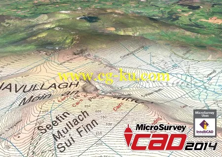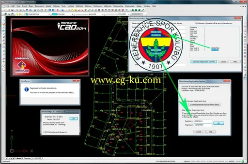
MicroSurvey CAD 是以功能强大的Intellicad 为核心的工程测量专业CAD设计与绘图软体, 是专为测量人员与工程承包商和设计人员所开发的应用软体, 功能强大简单易学易用快速解决繁杂的测量计算与绘图.
除了具有完整的CAD的绘图功能外, 更具有强力的COGO座标几何计算功能、导线计算与平差、道路线形设计与计算、DTM数值地形模型快速绘制等高线, 自动剖纵横断面, 计算土方的挖填数量, Microsurvey CAD以经济的价格让您拥有令人难以置信的功能, 是工程测量必备的软体.
MicroSurvey CAD 2014 Studio version 14.0.2.13 | 532.1 mb
MicroSurvey is pleased to announce a major update to its flagship product line with the release of MicroSurvey CAD 2014.
MicroSurvey focused its development efforts on adding new functionality for geospatial data, imagery, coordinate systems and geodetic tools. Users can view combined scale factors and convergence angles at any point in their drawing or project database. MicroSurvey CAD 2014 now includes the Global Mapper v15 SDK providing support for over a hundred different elevation, imagery and vector formats. Also supported is the ability to connect to online spatial databases and online imagery providers.
MicroSurvey CAD 2014 Release Notes: microsurvey-cad-2014-release-notes

About MicroSurvey
MicroSurvey Software Inc., now a member of the Hexagon family of companies, has been developing software and hardware solutions for the surveying and mapping industry for more than twenty-five years. Available in multiple languages, MicroSurvey software is used by professionals in over 100 countries. As industry leaders, MicroSurvey invests in current and future education programs by offering free licenses to nearly 150 educational institutions.
Name: MicroSurvey CAD
Version: 2014 Studio version 14.0.2.13
Home: www.microsurvey.com
Interface: english
OS: Windows XP / Vista / Seven / 8
Size: 532.1 mb
Special Thanks LAVTeam