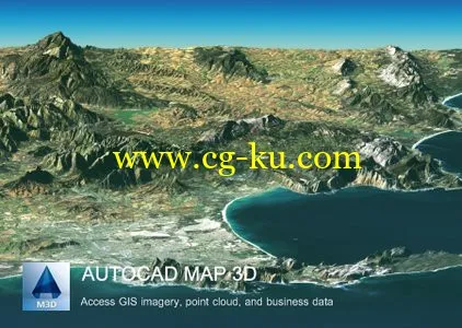
AutoCAD® Map 3D 软件可以访问 GIS 和地图制作数据,以支持规划、设计和数据管理。智能模型和 CAD 工具可帮助您应用地区和行业特定的标准。GIS 数据与您的组织相集成有助于提高质量、工作效率和资产管理水平。
Autodesk AutoCAD Map 3D 2015 | 3.4 Gb
Autodesk Inc., a world leader in 3D design software for entertainment, natural resources, manufacturing, engineering, construction, and civil infrastructure, announced the release of AutoCAD Map 3D 2015, is a model-based infrastructure application that provides broad access to CAD and GIS data, helping GIS, planning, and engineering professionals access, evaluate, and share data to make informed decisions.
Autodesk AutoCAD Map 3D 2015 is model-based planning and management software that helps GIS, planning and engineering professionals access evaluate and share data to make more informed decisions. Use it to natively access CAD, GIS, point cloud imagery and business information from a broad range of sources, without the inherent risks of data conversion. Analyze data for better insight to into existing conditions and the potential impacts of future projects. Apply intelligent industry models for electric, gas, water and wastewater to better organize information. Effectively share more coordinated and consistent information—all in a single, familiar AutoCAD®-based environment.
About Autodesk
Autodesk helps people imagine, design and create a better world. Everyone—from design professionals, engineers and architects to digital artists, students and hobbyists—uses Autodesk software to unlock their creativity and solve important challenges.
Name: Autodesk AutoCAD Map 3D
Version: 2015
Interface: english
OS: Windows Seven / 8
Size: 3.4 Gb