Intermediate | 2h 7m | 367 MB | Project Files | Software used: AutoCAD Civil 3D
itle: Lynda – AutoCAD Civil 3D Topographic and Boundary Survey
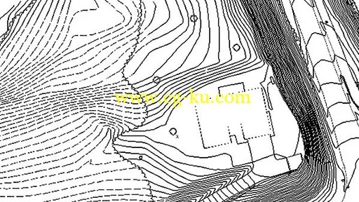
Info: AutoCAD Civil 3D software—a design and documentation solution for civil engineering—offers tools and features that can help you maintain consistent data and improve project performance. In this course, learn how to leverage this powerful software to tackle the different types of tasks involved in a survey project, including boundary analysis and creating TIN surfaces. Instructor Dustin Manning helps you get started by explaining how to set up your survey database. He also shows how to create automated linework, draw and label boundaries, and translate surveys. To wrap up the course, he shares some helpful productivity tips.
中间| 2h 7m | 367 MB |项目文件| AutoCAD Civil 3D软件的使用:
琳达–图卷AutoCAD Civil 3D地形和边界的调查:
信息:AutoCAD Civil 3D软件设计和文档解决土木工程提供的工具和功能,可以帮助你保持一致的数据,提高项目绩效。在本课程中,学习如何利用这个强大的软件来处理调查项目中涉及的不同类型的任务,包括边界分析和创建TIN表面。Dustin Manning老师通过解释如何设置调查数据库来帮助您开始。他还展示了如何创建自动划线,画和标签的边界,并将调查。为了结束这门课程,他分享了一些有用的生产力技巧。