x64 | Languages:English | File Size: 242 MB
Description:
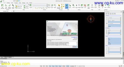
ARES® Map™ as a hybrid solution is bringing together the intelligence of GIS contents and a full-featured DWG-based CAD system. Maps and floorplans created with ARES Map are saved natively in DWG but can also contain smart GIS-enabled information associated to the entities.
The Perfect CAD Solution for GIS Users
ARES Map is the ideal CAD solution for organizations using ArcGIS Online/ Whether you need to update your GIS systems on actual CAD data or want to import CAD data into your GIS systems: ARES Map offers you a productivity driven environment specifically tailored to your needs.
-A complete set of 2D design and annotation tools for tablets and smartphones
-Optimized workflow: Keep files in sync between ARES Touch and ARES Commander
-Take your drawings for offline use
-Ability to add Picture Notes and Voice Notes – Annotate any drawing by taking an image or recording audio to share with colleagues at the office
Add GIS Intelligence Into Your CAD Drawings
Enrich your DWG drawings with Professional Maps from Esri, the World leader for GIS Solutions – ARES Map brings you all the tools you need to make your CAD meet the real world.
-Coordinate systems – choose from hundreds of projected, geometric or vertical ones
-Work with map services and feature services from Esri servers or your own ArcGIS Online content
-Display and modify your GIS content directly from within ARES Map
-Batch import/read shape files – and access and read all the GIS data contained inside ARES Map..........


发布日期: 2019-10-12