MP4 | Video: h264, 1280x720 | Audio: AAC, 48 KHz, 2 Ch
Genre: eLearning | Language: English + .srt | Duration: 31 lectures (5 hour, 13 mins) | Size: 2.94 GB
For GIS Engineers, Analysts, and Geospatial Analysts
What you'll learn
In this course the student will learn various process such as creating features and drawing objects, managing object data, and displaying spatial data. It also introduces users to the concepts of industry model database by managing spatial data.
Requirements
Basic Knowledge of AutoCAD
Description
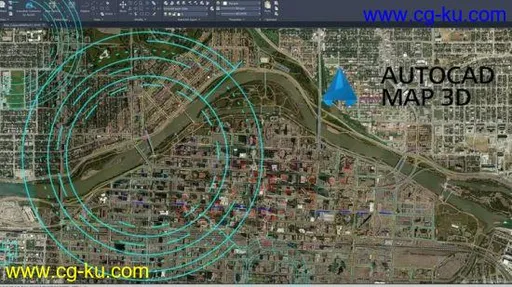
AutoCAD Map 3D is a user-friendly GIS software used by businesses for GIS mapping. This intuitive system allows users to take topographical information from GIS and CAD data to create models for analysis. AutoCAD Map 3D includes all the map functionalities with some additional GIS and Geo spatial tools. It has wide range of applications in infrastructure design, layout planning, and spatial analysis. AutoCAD Map 3D software provides access to GIS and mapping data to support planning, design, and data management. Intelligent models and CAD tools help you to apply regional and discipline-specific standards. Integration of GIS data helps to improve quality, productivity, and asset management.
This course is specially meant for professionals and students of GIS, Urban Planning, Civil Engineering, Cartography, and CAD professionals who are associated with planning, designing, and data management. Special emphasis has been laid to explain new concepts, procedures, and methods in GIS by using sufficient text and graphical examples. The course emphasized on the tools, options, functions, and interoperability of AutoCAD Map 3D that allow the users to create, analyze, and save complex geospatial data easily and effectively.
Who this course is for:
Beginners, GIS Engineers, GIS Analysts, Surveyors, and Geospatial Analyst


发布日期: 2020-07-28