MP4 | Video: h264, 1280x720 | Audio: AAC, 44.1 KHz, 2 Ch
Genre: eLearning | Language: English | Duration: 24 lectures (2 hour, 7 mins) | Size: 1.69 GB
Beginner guide for Hydrological modelling, Lidar, TIN, DEM, Volume calculation, Surface Analysis, Contour and many more.
What you'll learn
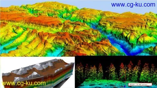
Surface Analysis using DEM (To calculate slope, aspect, hillshade, viewshade)
Watershed and Drainage Delineation (flow direction, flow accumulation etc)
DEM generate using LiDAR dataset
Create Triangular Irregular Network (TIN)
Volume of reservoir or dam calculation using DEM
Brief overview of contour
Hydrological Modelling
Creating a shapefile
Requirements
Basic knowledge of ArcGIS
Description
If you are searching for the GIS project related to elevation data, this course is definitely for made for you. In this course you will learn about the lots of project based idea such as drainage management, surface analysis using DEM, volume calculation for hydrological study, remote sensing analysis etc. You also get the change to learn about the LiDAR technique. At the completion of this course, you built your confident to working any of the Digital Elevation datasets.
Who this course is for:
Anyone can join this course who have interested in GIS field


发布日期: 2020-08-20