Merrick MARS Explorer
7.1 | 314.4 mb
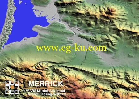
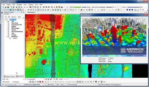
Merrick & Company, a global engineering, architecture, design-build, surveying and geospatial solutions firm, announced the new release of Merrick MARS Explorer 7.1, a comprehensive, production-grade Windows application designed to visualize, manage, process and analyze LiDAR point cloud data.
The MARS software suite is optimized for 64-bit Windows operating systems and provides powerful LiDAR filtering, editing and data management functions. Version 7.1 includes updated help documentation, 28 LiDAR data filtering algorithms, 18 data export formats and several performance enhancements that improve data throughout and automation efficiency. Furthermore, MARS now supports all versions of the ASPRS LAS file format specification including Version 1.4.
Application Features
- Optimized 64-bit support for Windows operating systems
- Unlimited data loading capacity for airborne, terrestrial & mobile LiDAR datasets
- Supports loading of LiDAR (LAS), imagery (RGB, CIR, hyperspectral, thermal) and GIS vectors
- Batch production of digital surface models and elevation contours
- Provides support for WMS imagery (ex. Bing Maps)
- Automated & manual LiDAR filtering tools
- Allows multi-core data processing to maximize performance of PC hardware
- 3D coordinate transformation support for LAS files (horizontal and vertical)

About Merrick
At Merrick, you’ll discover innovation for a changing world. Growing demand for expert solutions that effectively manage project development, optimize operations, and support client needs are allowing us to explore and deliver new opportunities to our clients for lasting, future-smart, and sustainable results. Beyond ordinary, Merrick delivers innovation for your changing world.
Name:
Merrick MARS Explorer
Version:
(64bit) 7.1.7112
Home:
www.merrick.com
Interface:
english
OS:
Windows XP / Vista / Seven
Size:
314.4 mb
发布日期: 2014-03-12