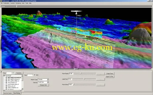
Fledermaus是IVS 3D公司出品的一套功能强大的交互式3维数据可视化系统。
它可以帮助用户完成包括海洋(海岸、海底)资源调查与制图、环境影响评估、采矿、地质调查以及各种研究等等在内的工作。
全新的数据挖掘技术包括ShiftScape漫游引擎和Bat(3维输入设备),用以完成直观的3维地理信息数据的挖掘与分析。
该系统广泛支持大量工业数据格式的直接输入。
面向对象的数据类型包括:数字地形图、点数据集合、线、多边形、卫星影像等等都可以直接导入进行显示分析。
由于采用灵活的软件结构设计,Fledermaus轻松实现自定制的功能扩展。
输出MPEG1或者MPEG2格式、或者原始帧图像!Fledermaus专业版所采用的核心技术与Fledermaus标准版一样。
但是增加了大量的高级工具包括:复杂区域编辑模块、管道与路径规划、实时对象跟踪等等。
Fledermaus专业版被广泛应用于海洋测量的编辑与控制、海底构造调查、军事侦察以及海岸资源调查与制图。
QPS Fledermaus 7.xFledermaus is the industry leading interactive 4D geo-spatial processing and analysis tool.
With the release of Version 7.
0 we have moved this to the next dimension: the addition of a fully integrated time reference allowing users to work in a true space and time environment.
Commercial, academic and government clients use the Fledermaus software worldwide.
They use the software to interact with massive geographical datasets of numerous data types for ocean mapping and land-based projects.
The intuitive 4D display and interaction allows clients to rapidly gain insight and extract more information from their underlying data.
This provides our clients with added value in data processing efficiency, quality control accuracy, data analysis completeness, and project integration, that promotes clear communication.
A wide variety of industry standard formats are supported for direct import of data to the 3D scene, and Fledermaus also allows data from remotely operated vehicles, ships or other entities, to be visualized in real-time.
The extensive functionality of Fledermaus allows its use across many phases of a project from the planning, processing and QC, through to analysis and production of images, plots and animations.
发布日期: 2018-06-26