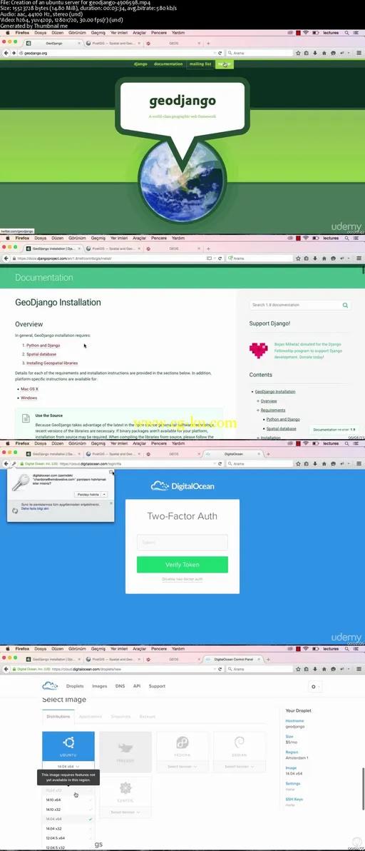
Geodjango tutorials by using postgreSQL, Postgis,Proj4, Geos
MP4 | Video: 1280x720 | 64 kbps | 44 KHz | Duration: 3 Hours | 1.02 GB
Genre: eLearning | Language: English
Learn how to create location based applicatons like swarm, foursquare or tinder.
We can add anything onto our standard databases and then search up queries like listing them in a particular chronological order or for instance, showing people who has a name starting with the letter a. But have you ever thought about how we save a particular location, more precisely, their latitude and longitude information by using queries? What about listing these queries from the nearest to the most far, most far to the nearest and everything else like searching up within a particular kilometer?
If the subject is location, we also need to learn how to use other data types as well as customary databases like pointfield or polygonfield.
What is a PointField?
Simply put, it is a type of data that we use to save the coordinates (latitude and longitude) of the users.
What is a PolygonField?

发布日期: 2016-01-01