Getting Started with ArcGIS Mapping
MP4 | Video: AVC 1280x720 | Audio: AAC 44KHz 2ch | Duration: 2 Hours 15M | 521 MB
Genre: eLearning | Language: English
ArcGIS provides a scalable framework for implementing GIS solutions for a single user or many users on desktops, in servers, over the web, and in the field.
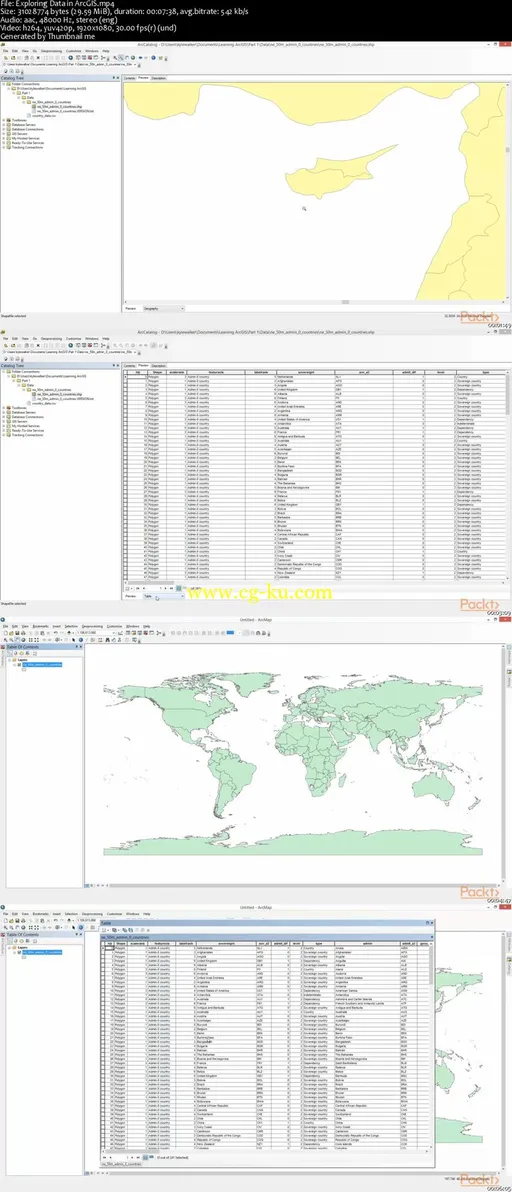
In this video course, you will be introduced to mapping in geomatics with the help of ArcGIS. You will start off by learning how to set up the ArcGIS Desktop Suite, and learn how to do some basic data exploration. After that, you will delve into managing data and extracting it from different file forms to be used for visualization in ArcGIS. You will be shown how to import data from different files in ArcMap, join them to existing spatial data, and then finally visualize the results. Next, you will be taught how to properly visualize data for communicating your GIS-based analysis. You will delve into core-cartographic principles and also basic functionality for map-making in ArcGIS.
By the end of this course, you will be well versed with handling spatial data and creating your own maps for visualization.

发布日期: 2017-07-26