Duration: 1h 48m | Video: h264, 1280x720 | Audio: AAC, 44100 Hz, 2 Ch | 598 MBGenre: eLearning | Language: English | Project FilesA fast-paced guide to building more complex web applications using GeoServer Web Services, OpenLayers API, and PostGIS.
About This VideoExplore the capabilities of the OpenLayers API and WMS to provide a print-enabled interactive site map.
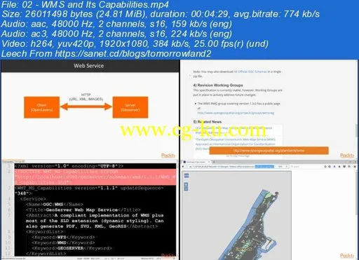
Add Geoserver CSS and Common Query Language filtering to your appDeploy PostgreSQL to provide spatial data to your app through PostGISExplore the feature-rich WFS service layer and build a web application UI that enables feature editingUse Geolocation Boostrap, and Jquery to create a responsive mobile-friendly user interfaceIn DetailYou will start the course by learning how to harness the capabilities of Web Map Service (WMS) beyond simple interactivity.
Here you will understand GeoServer Layers and how to add information to your map by using cartographic styles, styling data with cascading style sheets, working with labels, and scale dependency.
Further, you will explore the features of the OpenLayers API, beyond simple interactivity, and printing maps through the interface.
You will learn about Common Query Language (CQL) and create an application that provides filtering and dynamic symbolization through the use of CQL to bring a more user-specific experience to your web application.
You’ll take this to the next level with deployment of a spatial database, PostGIS, in tandem with GeoServer.
PostGIS adds support for geographic objects by allowing location queries to be run in SQL.
Here you will cover the installation and population of the database in order to get it ready for GeoServer.
You will use Web Feature Service (WFS) to provide feature-level read and write access involving the spatial database.
This is a powerful capability for your end-user, as it will provide the means to alter and update data that they can select through a map-based interface.
Finally, you will learn about the creation of a mobile/responsive user interface with OpenLayers, utilizing geolocation to provide a user experience specific to their current location, on top of GeoServer, with write capability.
By the end of this volume, you will have learned how to build a complex web mapping application that harnesses the power of GeoServer, with improved cartography with Geoserver CSS and CQL.
You will have created a PostGIS spatial database to leverage SQL and rich-data structures, and created a mobile/responsive user interface with the OpenLayers API, WFS, popular third-party open source libraries to provide feature-level location-specific write access, and ultimately a powerful platform for your end user.


发布日期: 2017-12-09