Advanced Geoserver
MP4 | Video: AVC 1280x720 | Audio: AAC 44KHz 2ch | Duration: 2 Hours | 668 MB
Genre: eLearning | Language: English
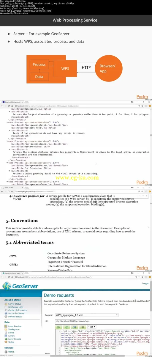
GeoServer is an open source server-side software written in Java that allows users to share and edit geospatial data. In this course, you’ll start by learning how to develope a Spatial Analysis Platform with Web Processing Services. Then you’ll see how to develop an algorithm by chaining together geospatial analysis processes, which you can share with anyone in the world.
Next you’ll dive into a very important technique to improve the speed of your web map application—tile caching. Here, you’ll understand how tile caching works, how to develop an effective tile cache-supported web service, and how to leverage the tile cache in your OpenLayers web application.
Further on, you’ll see important tweaks to produce a performant GeoServer-backed web mapping application. By properly configuring your GeoServer instance, you can avoid performance bottlenecks for your end user. Next, we’ll enable authentication and identity management for your application, where you’ll build a user-specific and secure web application through identity management and authentication. Moving on, you’ll enable authentication on the front and back ends to protect sensitive map data, and how to deliver sensitive data to your end user.
Finally, you’ll see how to put your web application into production in a secure and user-friendly way. Here, we’ll look at hosting of the OpenLayers, GeoServer, and data aspects of your application. You’ll go beyond traditional web hosting to explore the full range of hosting options in the cloud, and maintaining a reliable server instance


发布日期: 2018-03-19