Creating a Site Analysis in Revit | 900 MB
Software used: Revit 2014 | Resolution: 1280x720(.flv) | Audio: mp3 92 Kbps | Completion Time: 1h 4m
Genre: eLearning | Difficulty: Intermediate | Language: English | Instructor: Pierre Derenoncourt | November 11, 2013
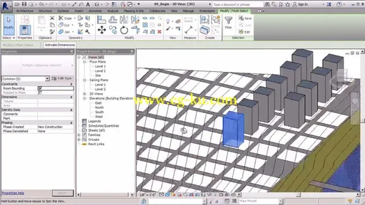
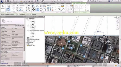
In this series of tutorials, you'll learn how to put together all the elements you'll need to create a powerful and professional site analysis using Revit 2014.We'll begin by inserting a satellite image of a proposed building site located in a dense downtown setting where you'll see how to quickly scale your image using real world data. From there we'll create the site's infrastructure by placing streets, bridges and blocks that will really bring the site to life. Once we've completed our model, we'll then analyze the site even further by conducting a solar study to study the sun's path and its effect on our site. Finally, we'll be able to experience the scale of our site by creating a basic walkthrough of downtown.


Once you've become comfortable with the concepts and techniques in this course, you'll be able to put together a high-quality site analysis presentation of your own with no problem.
发布日期: 2013-12-31