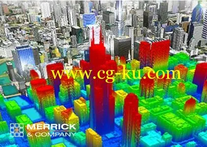
Merrick MARS 2019.1 | 742.5 mbMerrick & Company, a global leader in light detection and ranging (LiDAR), digital orthophotography, hyperspectral imaging, and geographic information systems (GIS) data integration, is pleased to announce the release of Version 2019.
1 of the Merrick Advanced Remote Sensing (MARS) software suite.
About Merrick MARS.
Merrick’s Advanced Remote Sensing (MARS) software was developed to support our airborne data acquisition.
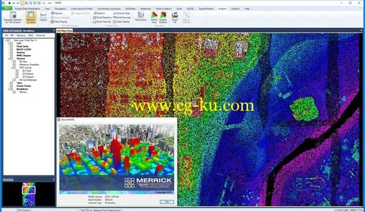
MARS is a powerful stand-alone Windows application designed to visualize, manage, process, and analyze LiDAR point cloud data.
It is functional and accessible for both new users and experienced data production professionals and its performance and stability are exceptional.
About Merrick & Company.
Merrick & Company, an engineering, architecture, and geospatial solutions firm, serves domestic and international clients in the energy and chemicals, national security, life sciences, and infrastructure markets.
The employee-owned company maintains 20 offices in the United States, Canada, Mexico, and the United Kingdom.
Product:Merrick MARSVersion:2019.1Supported Architectures:x64Language:englishSystem Requirements:PCSupported Operating Systems:Windows 7even or newerSize:742.5 mb

