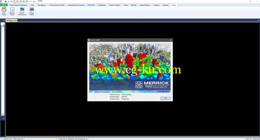
MARS 2019.2是由Merrick公司最新推出的高级遥感软件,新增多线程数据处理功能,添加了31种LiDAR数据过滤算法和20种数据导出格式,增强了质量控制模块测试las和shapefile输入之间的crs兼容性等,全面、多方位的管理,可视化,处理和分析LiDAR数据,满足不同用户的LiDAR数据处理需求。
它支持矢量工具、LAS工具、光栅工具、数据转换、数据导出、数据导航、数据查看、2D2视图、3D3视图、三维坐标转换、 质量控制等功能,提供非常多的工具帮助用户处理影像,还支持自动化LiDAR质量控制模块,并且还支持图像和GIS矢量。
同时,软件集数字正射、摄影,卫星图像等多种功能于一体,可以让你集中管理分析LiDAR数据,支持批量生产数字表面模型和高程轮廓,提供机载,地面和移动LiDAR数据集的无限数据加载能力,广泛应用于化学品、能源、生命科学和国家安全等领域。
Merrick MARS 2019 | 742.5 mbMerrick & Company, a global leader in light detection and ranging (LiDAR), digital orthophotography, hyperspectral imaging, and geographic information systems (GIS) data integration, is pleased to announce the release of Version 2019.
1 of the Merrick Advanced Remote Sensing (MARS) software suite.
About Merrick MARS.
Merrick’s Advanced Remote Sensing (MARS) software was developed to support our airborne data acquisition.
MARS is a powerful stand-alone Windows application designed to visualize, manage, process, and analyze LiDAR point cloud data.
It is functional and accessible for both new users and experienced data production professionals and its performance and stability are exceptional.
About Merrick & Company.
Merrick & Company, an engineering, architecture, and geospatial solutions firm, serves domestic and international clients in the energy and chemicals, national security, life sciences, and infrastructure markets.
The employee-owned company maintains 20 offices in the United States, Canada, Mexico, and the United Kingdom.
Product:Merrick MARSVersion:2019Supported Architectures:x64Language:englishSystem Requirements:PCSupported Operating Systems:Windows 7even or newerSize:742.5 mb

