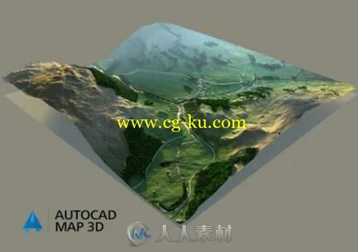
本软件是由Autodesk机构出品的Autodesk AutoCAD Map 3D软件V2018版,大小:2.5,支持Win364位系统,语言:英语。
AutoCAD Map 3D软件是一款基于模型的基础设施应用程序,能够以广泛的方式访问CAD和GIS数据,帮助GIS、规划和工程设计专业人士访问、评估和共享数据,从而制定明智的决策。
面向基于模型的基础设施规划和管理的AutoCAD® Map 3D地图软件可帮助集成CAD和GIS数据,为GIS、规划和工程决策提供信息。借助智能的行业数据模型与工具,您可以应用地区或特定专业的标准。将空间信息集成到数据库中之后,整个组织都可使用数据,从而有助于提高质量、生产效率和资产管理。在基于AutoCAD的环境中工作,您可以:访问和编辑信息,集成和分析资产,有效地交流。
AUTODESK AUTOCAD MAP 3D 2018 WIN X64
Autodesk Inc., a world leader in 3D design software for entertainment, natural resources, manufacturing, engineering, construction, and civil infrastructure, announced the release of AutoCAD Map 3D 2018. The 2018 release of AutoCAD Map 3D contains customer-focused enhancements across the product.
Autodesk AutoCAD Map 3D software provides access to GIS and mapping data to support planning, design, and data management. Intelligent models and CAD tools help you to apply regional and discipline-specific standards. Integration of GIS data with your organization helps to improve quality, productivity, and asset management.
The 2018 release of AutoCAD Map 3D contains customer-focused enhancements across the product, including the following specifics.
– High Resolution (4K) Monitor Support
AutoCAD Map 3D 2018 has been enhanced to adapt to the higher display resolutions and pixel densities in Windows. Most user dialogs, palettes and toolbars should be displayed nicely on monitors of 4K and higher.
– Fourth Generation MrSID Image Support
AutoCAD Map 3D 2018 now supports the fourth generation MrSID files. You can add such files through FDO Raster provider, MAPIINSERT or ATTACH.
– PostGIS 2.2 Support
The highest version of PostGIS that AutoCAD Map 3D 2018 can support is now 2.2. Map 3D 2018 can work very well with GIS data that is stored in PostGIS 2.2 installed on PostgreSQL 9.5.
– WFS 2.0 Support
AutoCAD Map 3D 2018 supports WFS 2.0 protocol. A new option ‘2.0.0’ is added to the version drop-down in the FDO WFS Connection dialog.
– Ambercore Point Cloud Removal
AutoCAD Map 3D 2018 has completely removed all features related to Ambercore point cloud. Users can no longer directly add LAS, and XYZ point cloud raw data to Map 3D. All the related entrances, including commands like MAPPOINTCLOUDMANAGER have been removed. Users with point cloud raw data in LAS and XYZ format should follow the new procedure: To Bring in Point Cloud Data.
– ArcGIS
Extend the support of FDO ArcGIS Provider to versions 10.3.1 and 10.4.

发布日期: 2017-3-30