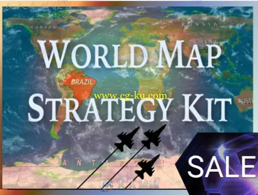
本游戏资料是个关于强大的世界地图战略套件游戏工具编辑器扩充Unity游戏素材资源,大小:106 MB,格式:unitypackage,使用软件:Unity,供广大设计师学习使用,语言:英语。
Unity3D是一个让你轻松创作的多平台的游戏开发工具,是一个全面整合的专业游戏引擎。Unity代表了一个质的飞跃——内置的光照贴图(lightmapping)、遮挡剔除(occlusion culling)和调试器。编辑器经过彻底革新,让你可以获得卓越的性能体验。不可思议、无法阻挡的产品已经看到了曙光。
Unity是一款跨平台的游戏开发工具,从一开始就被设计成易于使用的产品。作为一个完全集成的专业级应用,Unity还包含了价值数百万美元的功能强大的游戏引擎。Unity 4作为一个游戏开发工具,它的设计主旨就是让你能够创建令人惊讶的游戏。如果你之前尝试过Unity,请查看Unity 3都做了哪些更新。如果你是第一次尝试,那就好好看看吧,看Unity都能为你带来什么。Unity作为一种开发环境,可让你脱离传统的游戏开发方式,以一种更简单的方式专注于你的游戏开发。开发网络游戏、移动游戏、单机游戏,Unity都能完全胜任。
World Map Strategy Kit Editor Extensions/Game Toolkits
Kronnect
This extension requires one license per seat
Requires Unity 5.1.1 or higher.
World Map Strategy Kit (WMSK) is a powerful game toolkit for creating strategy games based on world map.
It includes great visual appealing features that are complex to implement to provide you a AAA kickstart in developing your game:
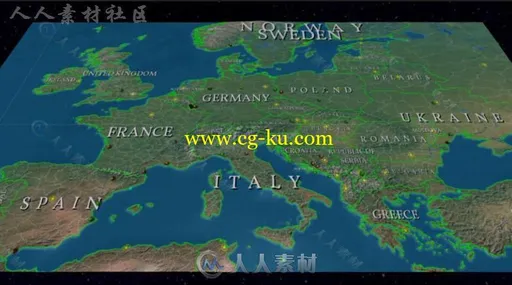
- Game viewport with 3D surface mesh for terrain with customizable/realtime height, infinite horizontal scrolling (world wrap) and gorgeous effects (water, coast foam, buoyancy effect, frontier lines, PBS based, ...)
- Cloud layer with animated drop shadows over terrain.
- Artistic and animated Fog of war with simple API to clear fog over a zone of control, country or province.
- Path-finding engine based on A* algorithm for unit movement. Assign terrain capabilities to your units and they will automatically take the optimal path.
- Highlighting system for selecting countries and provinces.
- Hexagonal grid optimized for low vertex count and highest frame rate.
- Line drawing system with animated dashing line support to show routes, throwing arcs, on-terrain paths, ...
- Custom attributes for countries, provinces, cities, mount points, grid cells and game units. JSON support.
- Day/night cycle.
- Optional minimap for quick navigation.
- Smooth runtime switching between 2D and 3D viewport mode (demo scene 15)
- Easy to use and documented API for units positioning, selection and movement over the map (locations based either on lat/lon, plane/2D coordinates or country/province/city names).
- WGS84 datum real world cartography included, no internet connection required.
- Includes frontiers of +4400 provinces, +7100 cities and +240 countries.
- Cities are classified on normal cities, regional and country capitals.
- Dynamic country labelling with adaptive text to the terrain.
- Map Editor for creating or modifying countries, provinces and cities, including a territories importer tool that automatically creates frontiers based on color textures.
- Customize the map as you wish, change textures or water/fog color, add textures to provinces or countries, or color fill them, ...
- Mount Points support. Define your own strategic / landmarks with location, type and custom attributes over the map to easily use them during the game for positioning units, buildings, control zones, ...
- Tickers/banners support. Add scrolling / blinking messages over the map easily.
- Calculator. Convert from lat/lon to plane coordinates and vice versa.
In addition to all of these awesome features, the asset comes with:
- Comprehensive documentation (59 pages manual).
- 19 demo scenes plus Youtube sample videos showing key features.
- 100% C# source code


发布日期: 2017-4-18