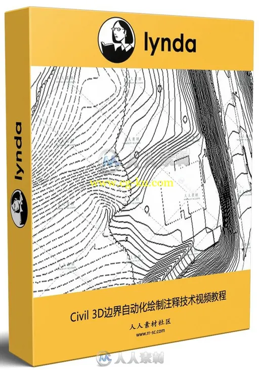
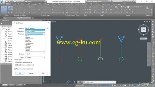
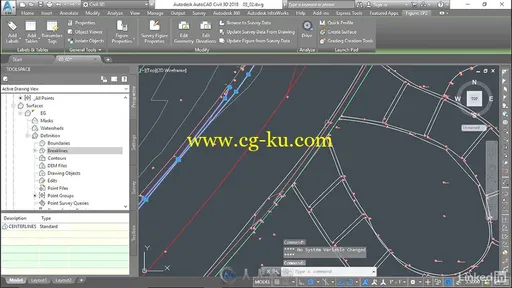
本视频教程是由Lynda机构出品的Civil 3D边界自动化绘制注释技术视频教程,时长:2小时07分,大小:360 MB,MP4高清视频格式,附工程源文件,教程使用软件:AutoCAD Civil 3D,作者:Steve Walz,共38章,语言:英语。
AutoCAD Civil 3D软件是一款面向土木工程行业的建筑信息模型(BIM)解决方案,能够帮助项目团队更加高效地设计、分析和可视化项目。内置的地理空间和雨水分析、工程算量和三维可视化工具可以帮助土木工程师在实际建造项目前探索假设情景,优化项目性能。支持自动化操作指南的工具能够优化施工规划及项目执行流程。
作为一款面向土木工程行业的建筑信息模型(BIM)解决方案,AutoCAD Civil 3D软件能够帮助项目团队更加高效地交付质量更高的交通运输、土地开发以及环境项目。Civil 3D能够在项目的实际建造流程开始前帮助土木工程师探索设计方案,分析假设情境并优化性能。该软件采用基于模型的方法,有助于简化耗时的任务并保持设计的协调性,进而提高文档和可视化作品的质量。该软件能够扩展Civil 3D模型数据,执行地理空间和雨水分析,生成材料算量信息,更好地支持施工阶段自动化操作指南。使用户获得BIM带来的竞争优势,帮助其交付更具创新的项目解决方案。
PluralSight软件开发在线教育平台是美国的一家面向软件开发者的在线教育课程服务商,Pluralsight成立于2004年;专注在线下开班式的服务,直到2008年才转向在线教育。目前Pluralsight在全球100个国家服务超过20万个用户,提供超过400个在线课程。除了个人用户外,Pluralsight还提供为企业的培训服务。Pluralsight提供的课程类型包括:C#、jQuery、iOS与Android、Java、 Ruby以及包括设计、社会化媒体、NoSQL、商业智能和Salesforce等。在收费方面,Pluralsight会收取用户每月29美元,以获取其大量关于教程的视频、文章、以及其他资料等。此外,还有一项每月49美元的服务,即可以通过线下课程接受培训。
Lynda AutoCAD Civil 3D Topographic and Boundary Survey
3DAutoCAD Civil 3D software—a design and documentation solution for civil engineering—offers tools and features that can help you maintain consistent data and improve project performance. In this course, learn how to leverage this powerful software to tackle the different types of tasks involved in a survey project, including boundary analysis and creating TIN surfaces. Instructor Dustin Manning helps you get started by explaining how to set up your survey database. He also shows how to create automated linework, draw and label boundaries, and translate surveys. To wrap up the course, he shares some helpful productivity tips.
链接:


发布日期: 2017-10-14